
August 24: Learning about Urban Wetlands Part 1
Assigned Teachers: Suren, Piyumika, Avanthi
Objectives:
Learn how land shape (contours) creates wetlands and explore how to map them.
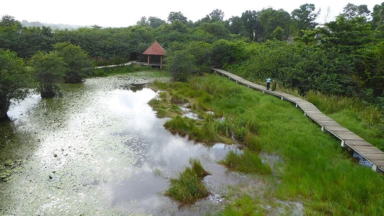
Planning for a trip to Baddegana Wetland park :D
Intro
Show images of wetlands and cities.
Ask:
“Why do you think water collects in some places but not others?”
“How do wetlands help people in cities?”
You will need:
Clay + trays/boards
String (for slicing contours)
Popsicle sticks or plastic knives (carving)
Tracing paper or acetate sheets
Whiteboard markers (blue, green, brown, red, black)
Tape
water + yoghurt cup (to keep clay workable)
Guide
Step 1: Building clay landscapes
Divide class into groups of 2 or 3.
Groups sculpt hills, valleys, and flat areas in clay trays.
Pour a little water → watch where it pools (wetlands).
Discuss:
• Where did water gather?
• How does the shape of the land matter?
Step 2: Cutting Contours (25 min)
Use string to slice horizontally through the clay at different “heights.”
After each slice, place tracing paper on top and outline the shape.
Stack the tracings to build a simple contour map.
Mark wetlands in blue where water pooled.
Step 3 (if there’s time): Map exchange
Groups swap contour maps.
Each group must rebuild the other group’s landscape in clay using only the contour drawing.
Ask the first group if they got it right!
Step 4: Conclusion
Groups present their maps + models side by side.
Summarize: Contours help us see how land height affects water and wetlands.
